I've shared google pictures of our forty-two acres before, but I pick up new readers from time to time. For instance, one of my lurkers recently emailed me to introduce herself; she's in northern Alberta, Canada. I love learning about my readers.
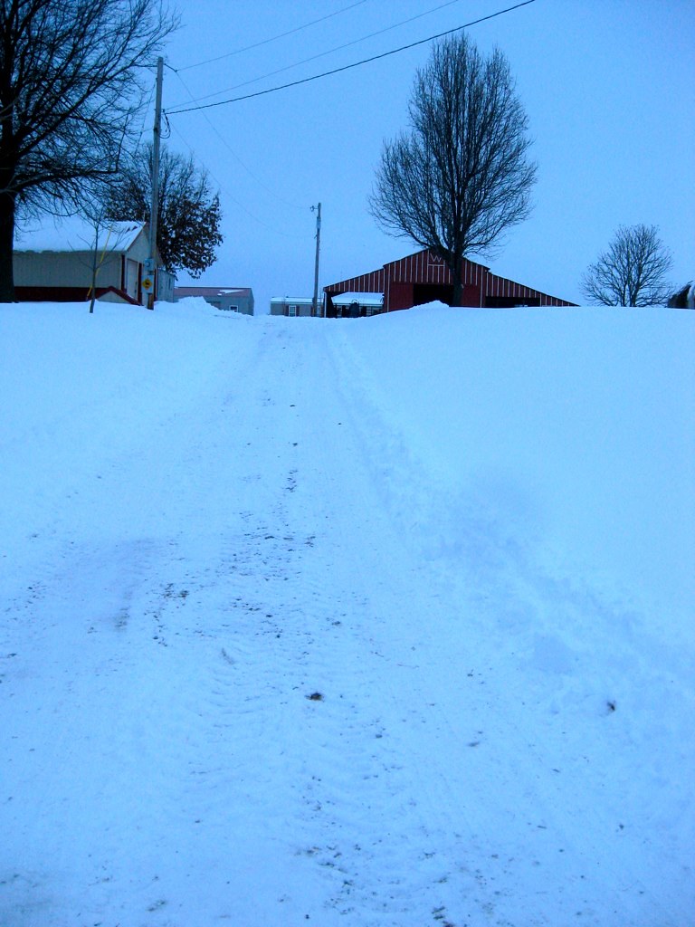
I had Cliff take the picture at the top of my blog during our morning walk a couple of days ago. We used to walk a mile down the highway to the Lion's Club Park and take a turn around the baseball diamond. We've since found out that walking on our own property is much less boring. There are disadvantages: cobwebs cross our path in some places from spring through fall, and the grass is usually wet with dew, which means wet feet; but it's worth it.
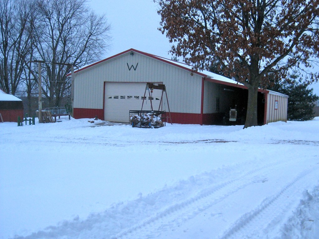
This is our property from the air. Our mobile home isn't on this picture, so I placed the red rectangle there to show you approximately where it sits, right behind the barn. There's a garage next to it that I didn't bother putting it in. At the bottom of the picture you can see our old two-story house, the garage, Cliff's shop, and the barn. If you're wondering about the round area, there used to be a round pen there.
The elevation here at the mobile home is 883 feet. At the back of the property, where you see railroad tracks winding by, elevation is 732 feet, a difference in elevation of 151 feet. Just so you know what a climb it is up out of the canyons.
That red arrow is at the spot where the picture was taken. The tiny red spot north and west of that is where my cabin used to sit. In fact, you can see the cabin; it's that little speck of white.
Looking at the header picture, you can tell that there's a deep canyon behind me. The green field is winter wheat. We enjoy stopping on our walk sometimes and checking out the river bottom. During flood years, it's covered in water thanks to the Missouri River, which runs along that distant line of trees. In the fall we'll see the tractors and combines working. During the winter when the trees are bare we can actually see the river, but it doesn't show up in the picture.


Rest in peace, Blue.
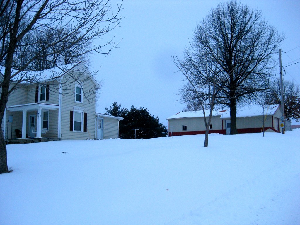
But I'm getting totally off the subject. I just wanted to give readers some idea of what our place is like. You can see that not even a quarter of it is tillable; what you can't really tell is how much of it consists of canyons. In fact, most of the wooded areas are in canyons.